
Source article found in Feedly: NASA Science, “NASA’s Prithvi Becomes First AI Geospatial Foundation Model In Orbit.”
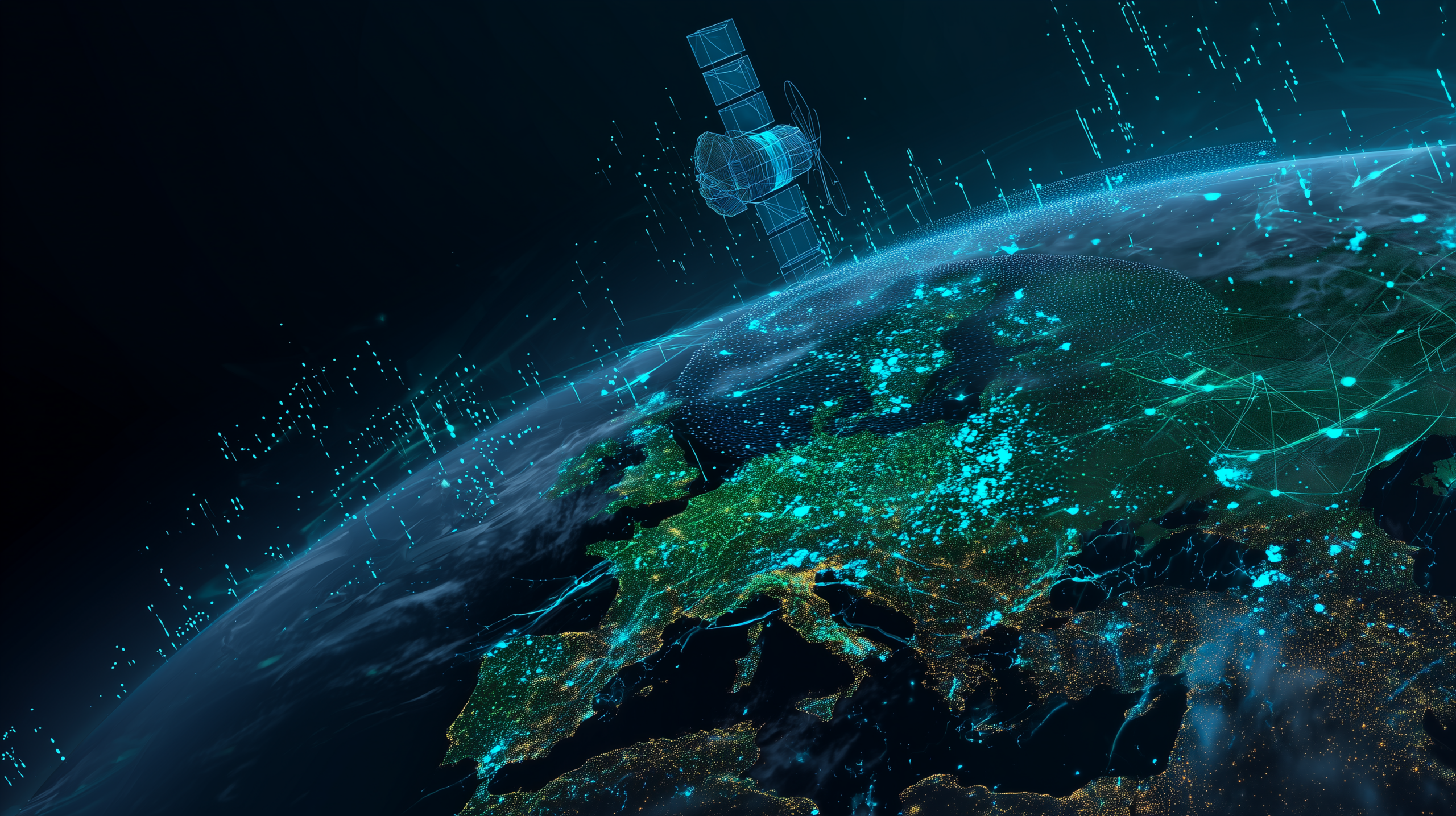
NASA and IBM’s open-source Prithvi Geospatial AI foundation model has been demonstrated aboard two orbiting platforms: South Australia’s Kanyini satellite and the Thales Alenia Space IMAGIN-e payload on the International Space Station. NASA describes it as the first geospatial foundation model deployed in orbit.
That sounds like a technical milestone, and it is. But it is also something bigger: a preview of a world where satellites do not just collect data and dump it back to Earth. They begin interpreting the world while still in orbit.
Why This Is Different
Most satellites have historically been constrained by bandwidth, compute, and mission-specific software. They collect enormous amounts of Earth-observation data, but much of the actual analysis happens after downlink. That creates delay, cost, and bottlenecks.
Prithvi changes the design pattern. A foundation model trained on years of Earth-observation data can be compressed, uploaded, and adapted for multiple tasks. NASA notes that Prithvi can support use cases such as flood mapping, disaster monitoring, and crop-yield prediction. Instead of uploading a full new model for every new mission requirement, operators may eventually be able to upload smaller task-specific components.
The Bigger Idea: Edge AI Leaves Earth
We talk about edge AI on phones, cameras, drones, vehicles, and industrial sensors. This is the same idea pushed into orbit. When the sensor is expensive, remote, bandwidth-constrained, and time-sensitive, local analysis becomes more valuable.
For disaster response, that could mean faster identification of flood zones, wildfire movement, storm damage, or crop stress. For national security and critical infrastructure, it raises the possibility of space-based systems that detect change, prioritize what matters, and send back the most important information first.
Open Source Matters Here
NASA’s article emphasizes that Prithvi is open source. That is not just a nice academic detail. Open models let researchers, governments, and companies build on a shared technical base instead of each organization recreating the foundation from scratch.
There is a strategic layer too. Open scientific models can accelerate legitimate research, but they also normalize a world where powerful analytical capabilities are easier to distribute, adapt, and embed into operational systems. That is good for innovation, but it also means governance, validation, and security need to keep up.
Security Questions Worth Asking
- Model integrity: How do we verify that an uploaded model or decoder package has not been tampered with?
- Mission safety: What controls prevent an onboard AI model from making bad prioritization decisions during a crisis?
- Data trust: How do agencies validate model outputs when those outputs shape emergency response, insurance, agriculture, or military decisions?
- Access control: Who gets to update models, tune decoders, or request analysis from orbital platforms?
- Dual-use pressure: The same architecture that maps floods can also detect movement, infrastructure changes, and patterns of life.
Bulwark Black Assessment
This is one of those stories that feels small until you zoom out. A geospatial model running in orbit is not just a science demo. It points toward a future where AI becomes part of the sensing layer of the planet.
The next decade will not only be about bigger AI models in data centers. It will be about smaller, specialized, mission-aware models running wherever the data is created: factories, farms, ships, aircraft, drones, and satellites.
That should make builders excited. It should also make defenders pay attention. When AI moves into operational environments, the security problem moves with it.
Source: NASA Science — NASA’s Prithvi Becomes First AI Geospatial Foundation Model In Orbit